Next day, Jas got up early and explored the lake side.
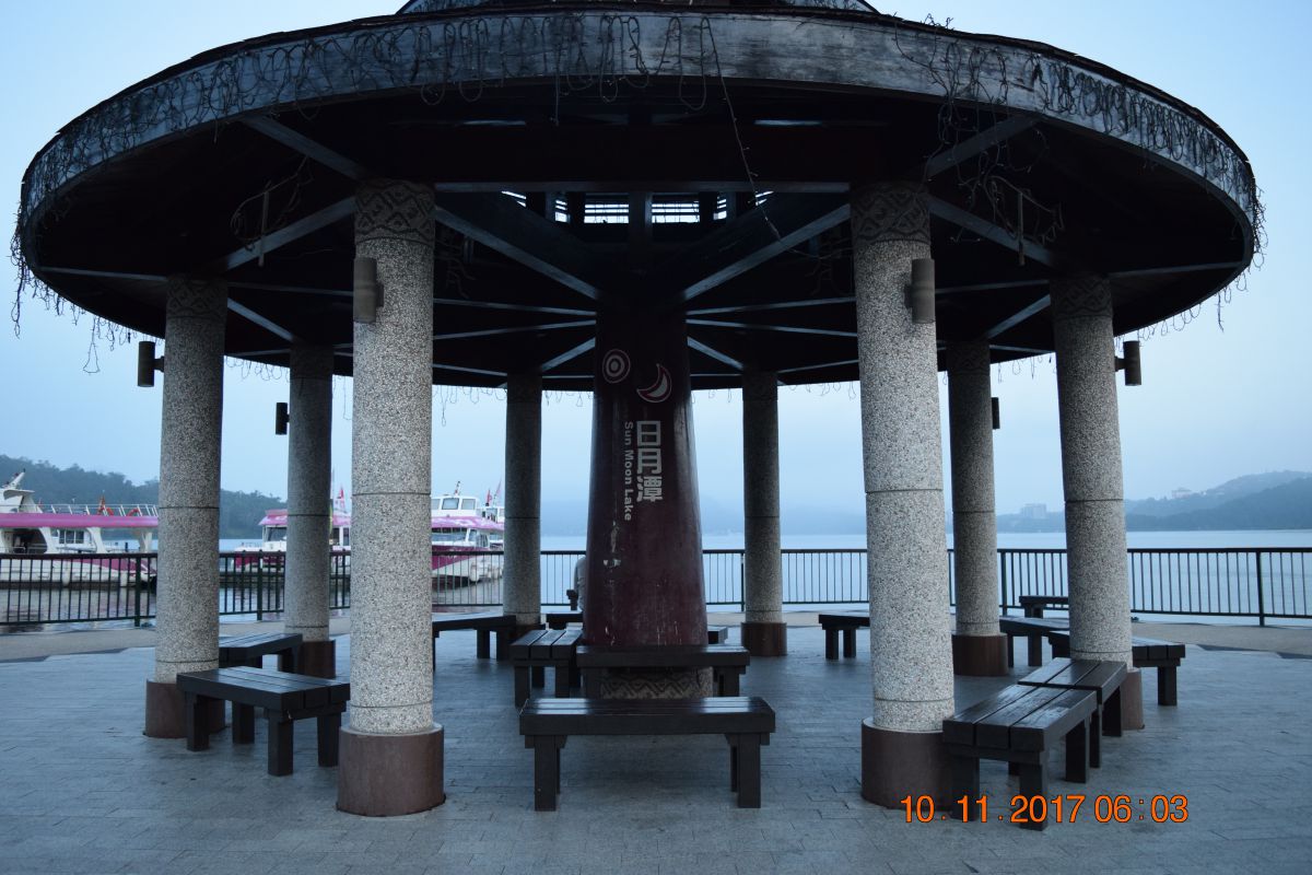 Lake side pagoda
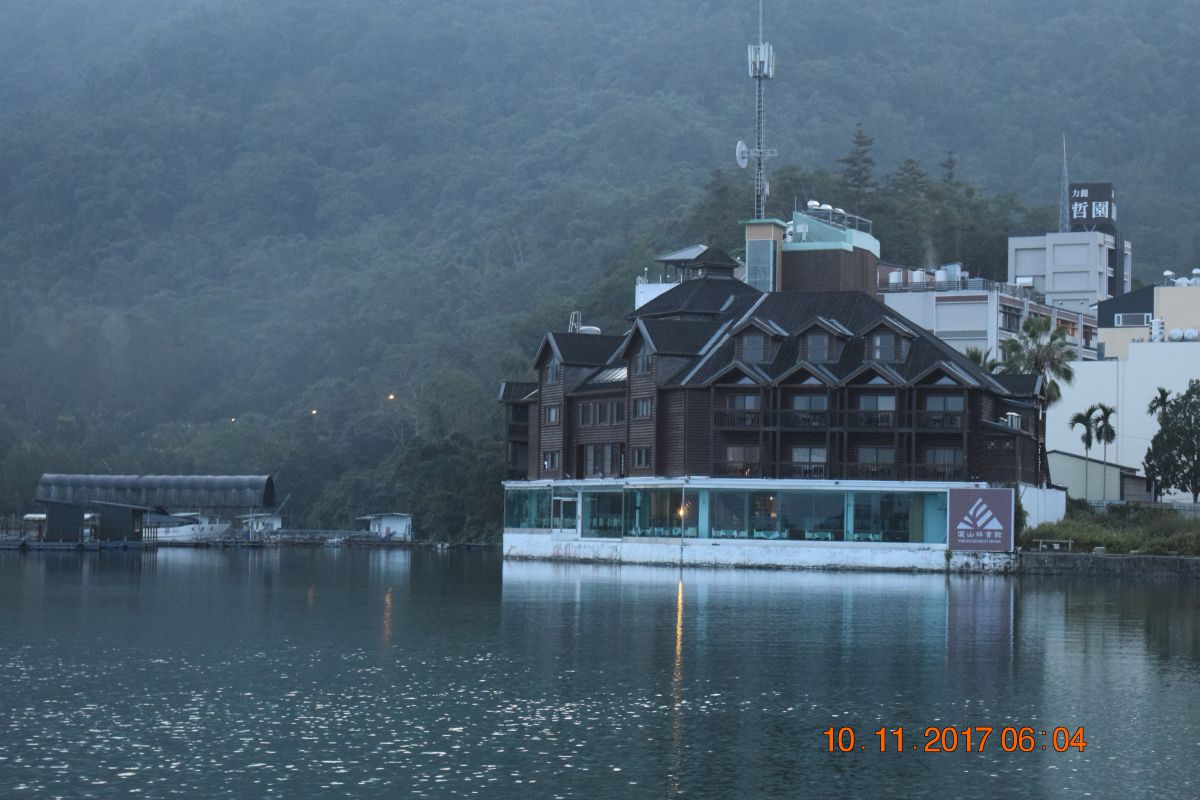 View over the lake
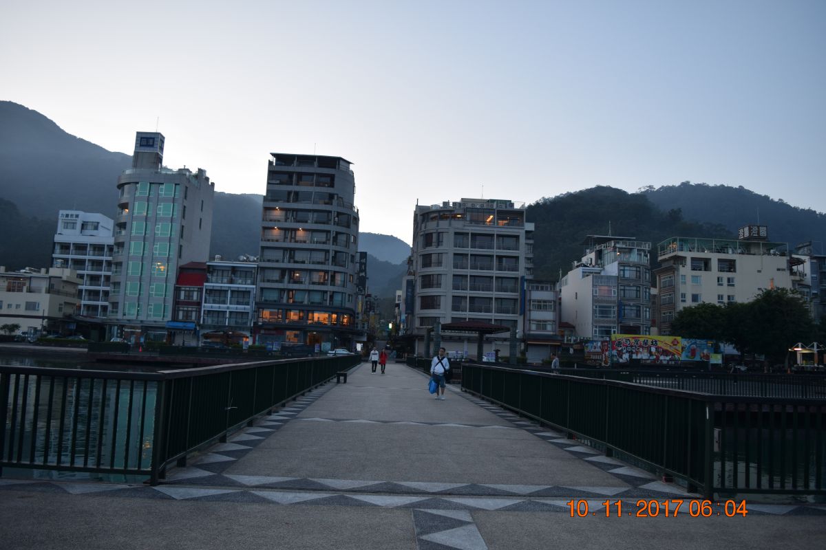 Pier to pagoda
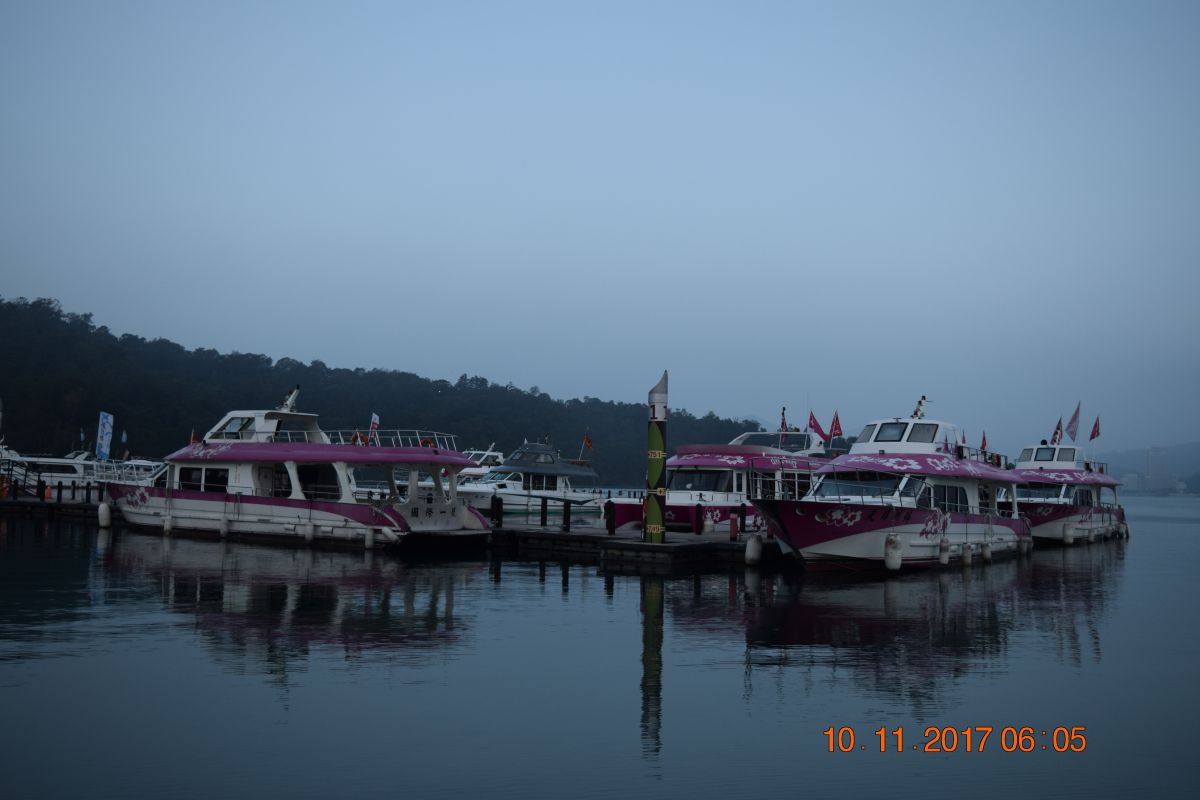 Tourist boats
 Flowers everywhere
 Early store hours
 More Flowers
History of Sun Moon Lake
Taiwanese aborigines at Sun Moon Lake, photo from a 1926 brochure of the Government of Formosa In older English literature, it was commonly referred to as Lake Candidius after the 17th century Dutch missionary Georgius Candidius. In the middle of the lake is the Lalu Island, which is considered holy ground by the Thao tribe. In legend, Thao hunters discovered Sun Moon Lake while chasing a white deer through the surrounding mountains. The deer eventually led them to the lake, which they found to be not only beautiful, but abundant with fish. Today, the white deer of legends is immortalized as a marble statue on Lalu Island.
Map including Sun Moon Lake (labeled as Jih-yüeh T’an (Jitsugetsu-tan) 日月潭) (1951) Under Japanese rule, the island was renamed "Jade Island" (Japanese: 玉島). After Chiang Kai-shek's Nationalist Government moved to Taiwan, the island was renamed Kwanghwa Island (Chinese: 光華島; literally: 'glorious China island') and in 1978 the local government built a pavilion where annual weddings took place. In 1999, the 921 earthquake destroyed the pavilion and sank most of the island. In recent years, due to increasing social and political awareness, more deference and recognition are being given to Taiwanese aborigines. As a result, after the 921 earthquake, the island was renamed in the Thao language as "Lalu".
Several hydroelectric power plants have been built in the Sun Moon Lake since 1919, including Mingtan Pumped Storage Hydro Power Plant and Minhu Pumped Storage Hydro Power Station. When the first hydroelectric plant was finished in 1934, it was considered to be one of the most important infrastructure constructions of the time. Wujie Dam, also completed in 1934, diverts water from the Zhuoshui River to increase hydroelectric generation at the lake. The Jiji Line railroad was built to facilitate the construction.
After breakfast and checkout of the hotel, ready for the next fascinating leg of our road trip. It takes us through the mountain range of Taroko National Park.
The slideshow gives an impression of the majestic mountain range we are passing through, although pictures can not match the personal experience. Click on the photo to enlarge. Click on the colored text to displays additional info.
Introduction of Taroko National Park
When Taroko National Park was established on November 28, l986, it was of special significance for the environmental protection movement in Taiwan: it showed that both the public and the government agencies had realized that against the background of the nation's four decades of extraordinary economic success, serious damage was being done to its natural resources. According to the National Park Act of the Republic of China (passed in l972), parks are established to protect the natural scenery, historic relics and wildlife; to conserve natural resources; and to facilitate scientific research and promote environmental education.
Taroko National Park, situated in the eastern part of the Taiwan and established on November 28, 1986, covers more than 92,000 hectares in the northern section of the Central Mountain Range. This park features high mountains and sheer gorges. Many of its peaks tower above 3,000m in elevation, with many natural wonders. The spectacular Taroko Gorge and the scenic beauty of Liwu River can be conveniently viewed from the Central Cross-Island Highway. The varied mountain peaks, numerous waterfalls, diverse plant forms and animal life, together with the indigenous Taroko people, create the rich texture of this unique natural ecosystem.
Geogarphic Characteristics of Taroko National Park
Taroko National Park, in the eastern part of the island, faces the Pacific Ocean on the east and covers an area of more than 92000 hectares(920 square kilometers) in the northern section of the Central Mountain Range. The Park is 36 kilometers from north to south and 42 kilometers from east to west. It is situated at the junction of three counties: Hualian, Taichung and Nantou. The park has many high mountains and steep gorges, with many peaks towering above 3,000 meters in height, and with many natural watersheds.The spectacular Taroko Gorge and the scenic beauty of the Liwu River can be viewed conveniently from the Central Cross-Island Highway. The many waterfalls, diverse forms of plant and animal life, and the indigenous Taroko people,together create the rich texture of this unique natural ecosystem.
The park is bounded by the Dajia River in the north, the Zhuoshui River in the west, and the and the Shanzhan and a Mugua River in the east. The Liwu River is the widest in the area; its drainage basin covers two-thirds of the park. Mountains over 2,000 meters high cover half the park area. Of the peaks listed in "Taiwan's One Hundred Peaks", twenty-seven are in Taroko National Park. Of these, the most renowned are the majestic Mt. Nanhu, Hehuan Snow Cap and the rugged Qilai Peaks.
We Spent the night in Xincheng county on the east coast of Taiwan at a modern hotel called Liiko Hotel. It has a well maintained garden and view of the mountain range we left behind. The rooms where perfect. The Japanese toilet seat however was a bit of a tease on how to operate.
 Lobby of Hotel Liiko
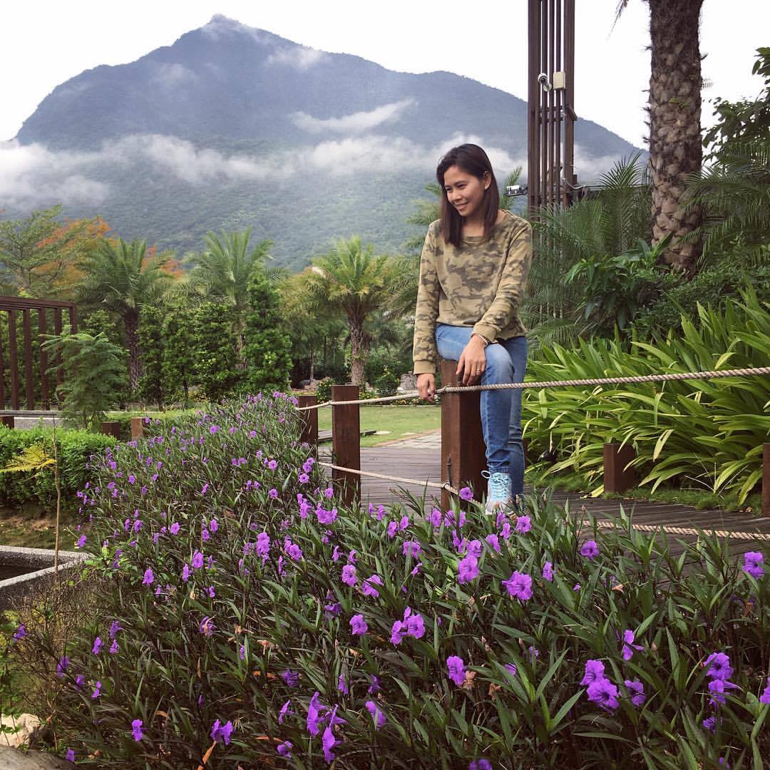 Hotel garden with in the background Taroko Park
The hotel told us there is a night market near the railway station not far from the hotel.
We took at look and sampled some food.
 All things fried and on a stick
 Eateries and game stations along the street
 Hot plate noodles with pork. In the back a mobile casino
 Mobile kitchen


Comments powered by CComment