First leg of the trip spans Manila to Baguio

Continuing to Angeles and Mabalacat where NLEX ends and change to SCTEX. In Tarlac the SCTEX ends and contentious as TPLEX. Passed Urdeneta city TPLEX ends and the trip continuous on the slow MacArthur Highway. In Rosario we take the way up to Baguio following Kennon road, one of the scenic routes but also dangerous route, especially during the raining season when rock and mud-slides occur without warning.
Baguio, to many, is best known as the "Summer Capital of the Philippines", with its cool climate making this a spot to escape the chaotic scenes in Manila. The city is also home to tropical pine forests, lending the city the nickname "City of Pines". It serves as a tourist hub in the Cordilleras, serving as a jumping point to other tourist spots like Mount Pulag, Sagada and Banaue.
Baguio is considered a city separate from the province of Benguet, but it is considered part of Benguet practically, and it is the economic center for both the province and the Cordillera region. Some of the city's tourism promotions also point to nearby La Trinidad, which is both administratively and geographically in Benguet, and is the provincial capital.
History:
The city originated as a hill outpost by the Americans in the 1900s. Road connection is provided by the zigzagging Kennon Road, and the city is planned by the noted architect and urban planner Daniel Burnham. Originally intended to be the summer capital of the Philippines, then an American colony, it soon gained its position as a popular tourist destination to many Manileños escaping the heat, noise, and crowds of the metropolis. The city has been badly damaged by the destructive Central Luzon earthquake in 1990, but the city since recovered.
Climate:
Lying at 1,540 m (5,050 ft) in the Cordilleras, Baguio has milder temperatures, and is quite temperate than the rest of Luzon and the country as well. The climate is highland subtropical, with temperatures 7–8 °C (45–46 °F) cooler than the lowlands, and conditions reminiscent of spring. The coldest temperatures ever recorded in the city is 6.3 °C (43.3 °F). Chilly northeastern monsoon winds from Siberia can cause nighttime lows to drop almost near freezing, with frost forming from moisture turning into ice due to wind chill. Despite its altitude, Baguio has not experienced any snowfall.
The city is best visited during the dry season between November and April, when the northeast monsoon blows through northern Luzon, and rainfall is at its lowest. The cool dry season is Baguio's peak season for tourists. The rest of the year is rather rainy, and it is rather the off season for tourists.
Driving on Kennon road
On arrival in Baguio City we checked in to the hotel first. Azalea Residences is some sort of condo-hotel. Rooms have a kitchenette and larger refrigerator.
Located in an upscale area of the city makes it a nice place to stay for a few nights..
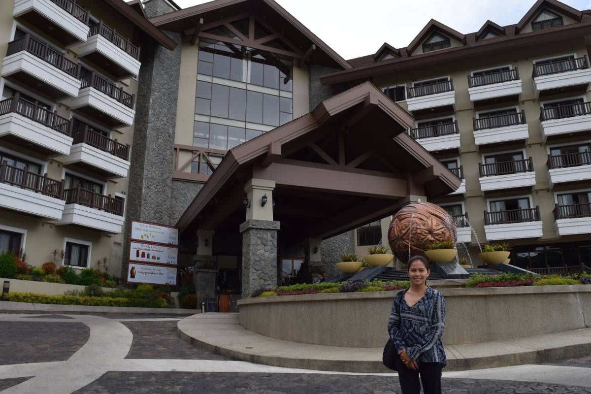 Azalea Residences Lobby entrance
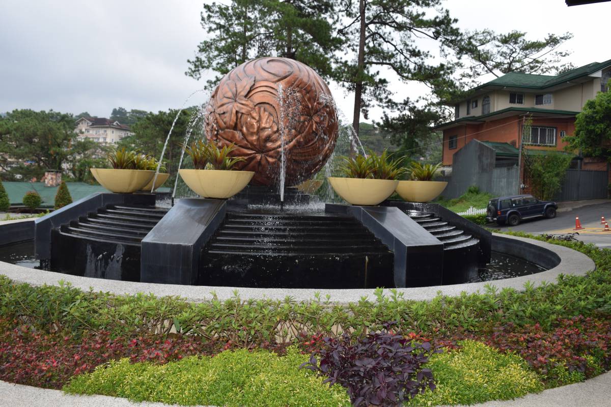 Azalea Residences Lobby entrance>
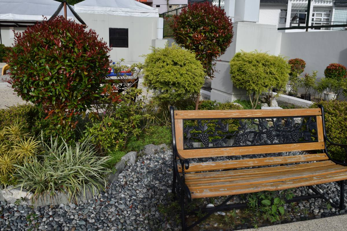 Azalea Residences front garden
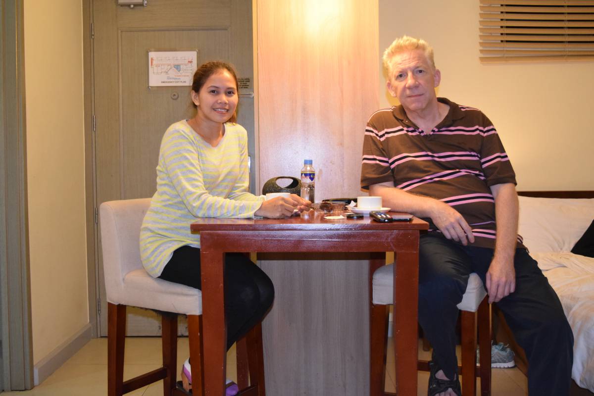 Azalea Residences Inside he room
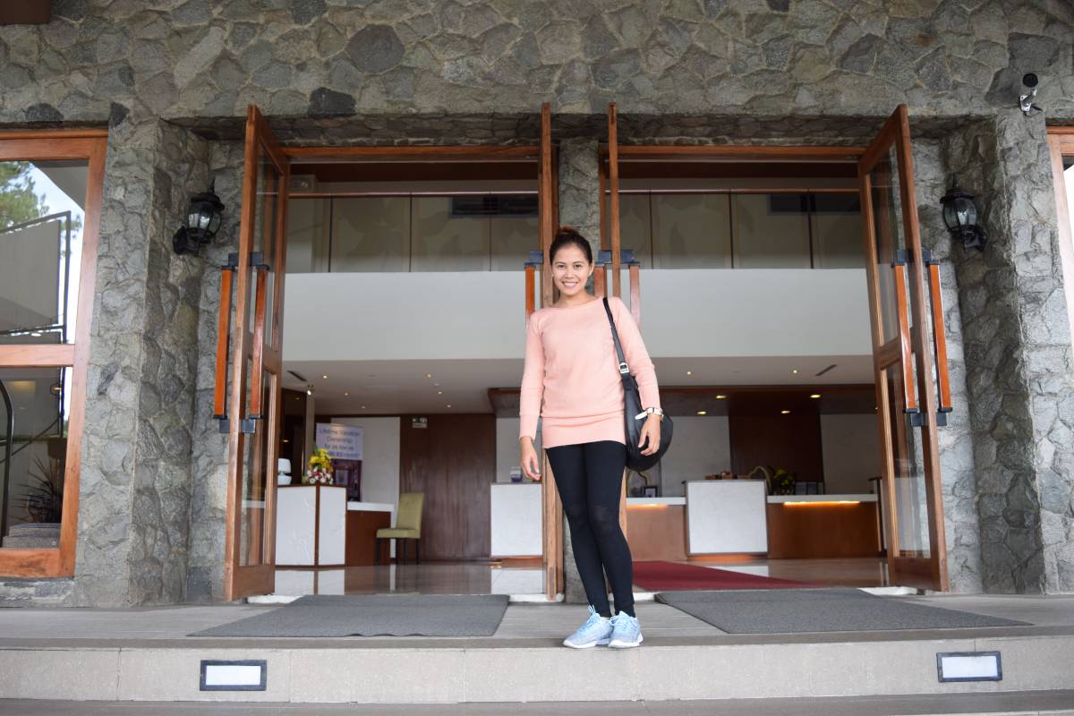 Azalea Residences Lobby entrance
It is noon-time and we head out to Session road for lunch.
A visit to SM Baguio and Baguio Cathedral takes up the rest of the afternoon.
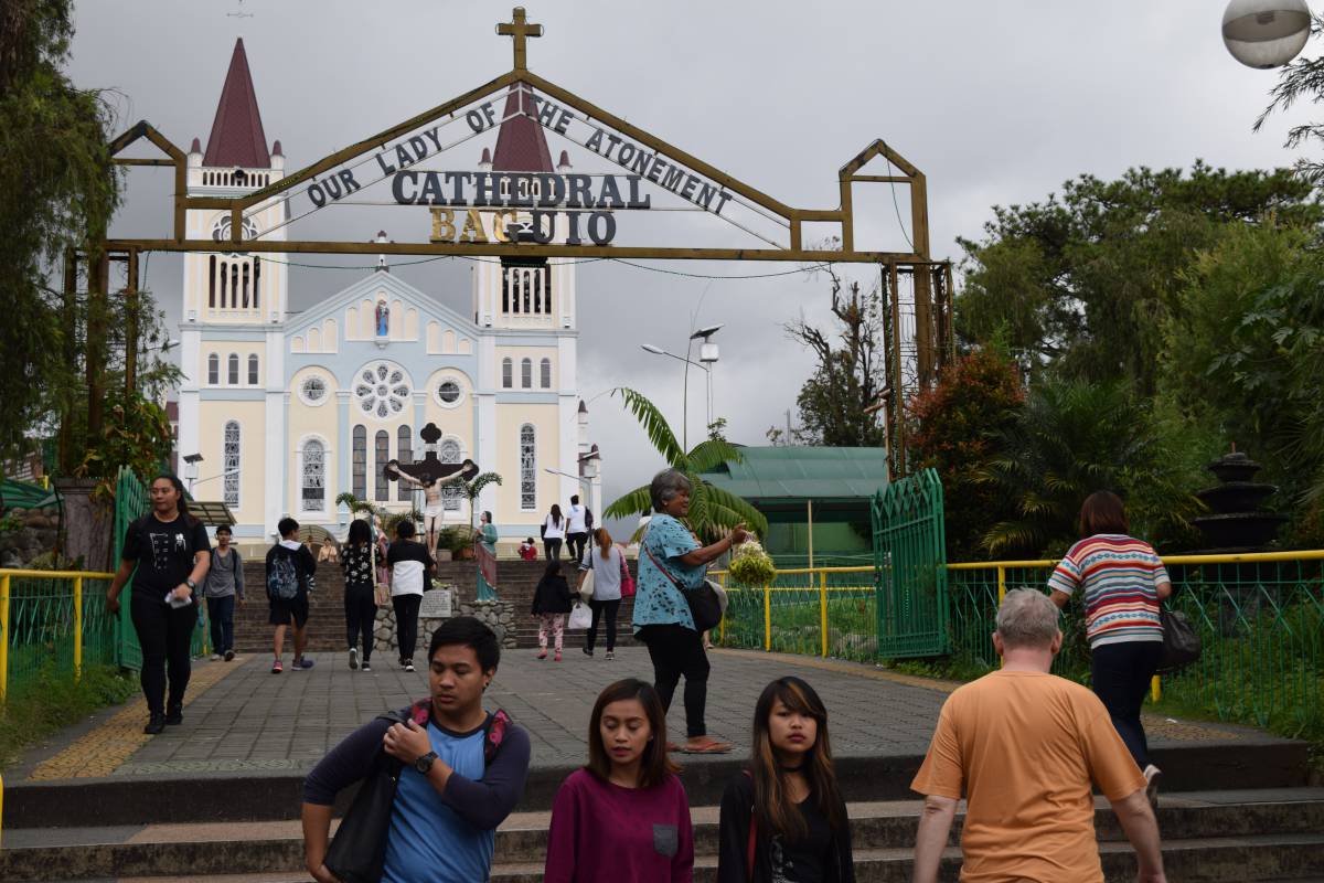 Baguio cathedral
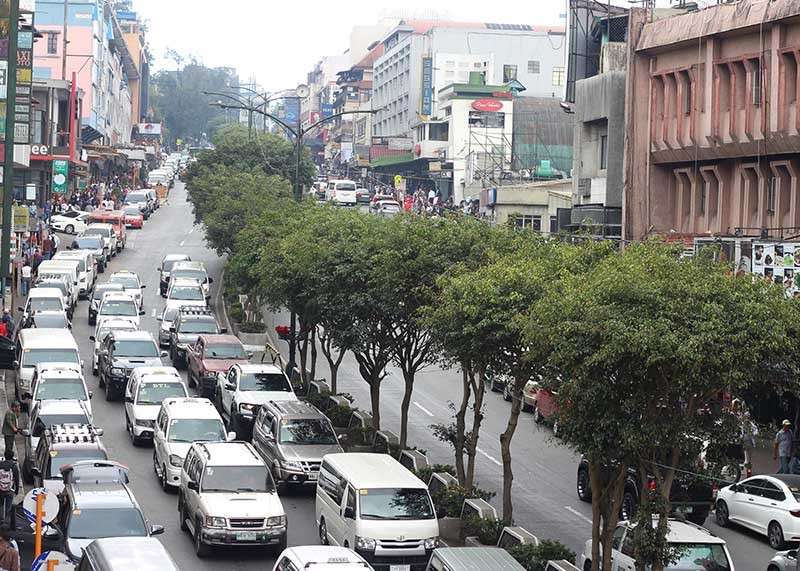 Session Road
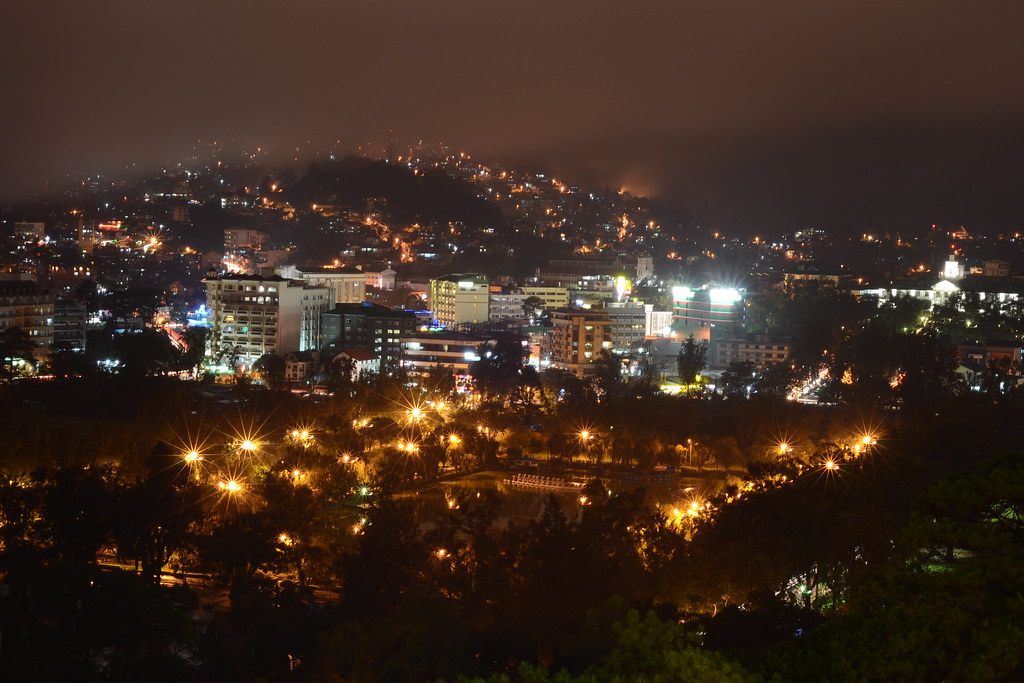 SM Baguio view deck overlooking Burnham park
Next day morning we headed out to La Trinidad, The Strawberry capital of the Philippines.
A visit To Our Lady Of Lourdes and After lunch a visit to the Mines View Park.
History of La Trinidad
Spanish period The valley encompassing La Trinidad was originally called "Benguet", a thriving community of Ibaloi migrants from Tinek. Natives traded local products, which included gold, with nearby lowland towns that had Dominican and Augustinian missions established. About 1616, the procurator general of Manila, Hemando de 1os Rios Coronel became interested in the mountain gold and proposed to the Spanish King to expedite its search. He wrote both Alonso Fajardo, the Governor of Manila, and the Archbishop of Manila in December 1618 that it was the solution to both the abandoned missions as well as the depleted colonial treasury. Fajardo requested feedback from the religious orders on this matter; whether waging a war against the Igorots was just. Only the Jesuits objected with the war, preferring only that their "mines be occupied in the name of his Majesty".
In 1620, Fajardo sent the first expedition under Captain Garcia Aldana y Cabrera, Governor of Pangasinan. Aldana and his men took the route from Aringay, crossing the Naguilian River to Duplas (La Union), then followed the Bornotan (Santo Rosario) River eventually reaching Takdian. Upon arriving at the mining community of Bua, the men found only a recently burned village, suggesting the natives fled with nothing for them to plunder. Aldana examined the Antamok mines and was able to gather some gold.
A second expedition was sent in 1623 under the command of Sergeant Major Antonio Carreño de Valdes. Carreño was able to repel some Igorot assaults, building two forts; 'Fort Santiago' overlooking the present Santo Nino mines, and 'Fort del Rosario' in the Antamok-Itogon area. The Igorots submitted to Spanish authorities only to strike back when the rainy season made it difficult to send manpower and new supplies, prompting the Spaniards to retreat.
Finally, in 1624, Fajardo sent Captain Alonso Martin Quirante, a master of strategy, logistics and tactics. In February of that year, Quirante took off with a huge expedition of 1,903 soldiers, carpenters, miners, smiths, slaves, clerks and some requisite clergy. He divided his large force into three; the first to clear the road, the second to follow, and the third with rations and arms. This ensured they would reach the mining area after clearing out an Igorot fort along the way. Quirante was able to reach the mining areas, and discovered about two hundred abandoned houses, implying the locals fled beforehand. He rebuilt Fort Santiago, and examined five mines; four of which showed signs of having been abandoned by the Igorots: Arisey Bugayona, Baranaban, Antamog, and Conog. The fifth mine called Galan was still operational. Quirante ordered baskets of ore gathered from each mine, labeled and ready for assaying. The results showed no evidence of deposits rich enough to yield attractive profit, prompting Quirante to return to Manila with 400 baskets of ore to be sent to Mexico for further assaying.
Meanwhile, the Royal Audiencia had become concerned at the expense of the project which had already cost 33,982 pesos. Don Geronimo Silva took over the government, convening the council to decide on the issue. The Royal Audiencia decided to abandon the project because of mounting expenses, loss of life and the continued hostility of the Igorots and their land.
In 1829, another expedition was sent to Benguet under Guillermo Galvey.
Saint Joseph Parish Church (center) in Barangay Poblacion Although the District of Benguet was established in La Trinidad by 1846, it was only on April 21, 1874, under Commandant Manuel Scheidnagel, that "Valle de Benguet" was renamed "Valle de La Trinidad" (La Trinidad Valley). Despite popular acceptance that it was named as "a fitting tribute to Galvey’s wife - Doña Trinidad de Galvey" – recent research has revealed that credit should have probably gone to Scheidnagel, having been inspired by the three prominent adjacent hills (in effect, forming a Trinity: a religious icon of the Christian campaign) overlooking the Poblacion church, where the seat of government, the Cabecera, was established.
Together with 40 other smaller surrounding rancherías, La Trinidad was placed under the jurisdiction of the newly established Benguet commandancia politico-militar in 1846 and was established as its administrative headquarters during the Spanish Conquest of the Philippines.
American period During the Philippine Revolution in July 1899, Filipino revolutionary forces under Pedro Paterno liberated La Trinidad from the Spaniards and took over the government, proclaiming Benguet as a province of the new Philippine Republic, with La Trinidad as its capital.
In 1900, the American colonizers arrived, and La Trinidad was established as one of the 19 townships under Benguet province, upon the issuance of Act No. 48. For a brief period, Baguio became the capital of Benguet when appointed Benguet province civil governor H.P. Whitmarsh moved the seat of government from La Trinidad to Baguio in 1901. La Trinidad was made the provincial capital again in 1909, after the Baguio township was abolished and converted into a chartered city.
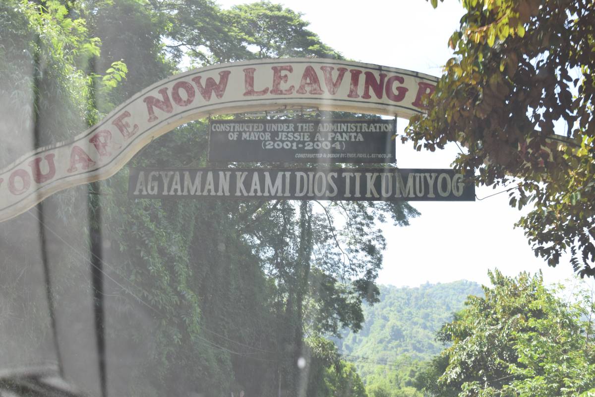
The next morning we head out of Baguio direction Vigan. Instead of Kennon Road, we take Naguilian Road.
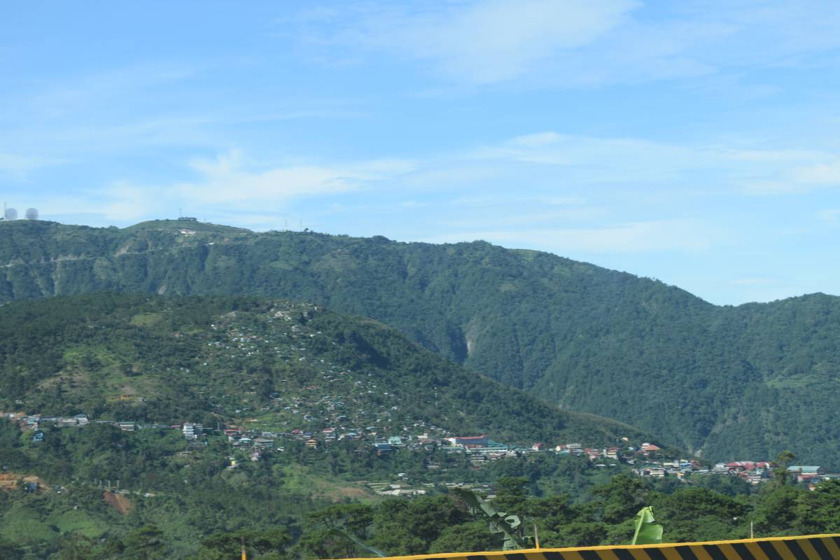 Going down the mountain
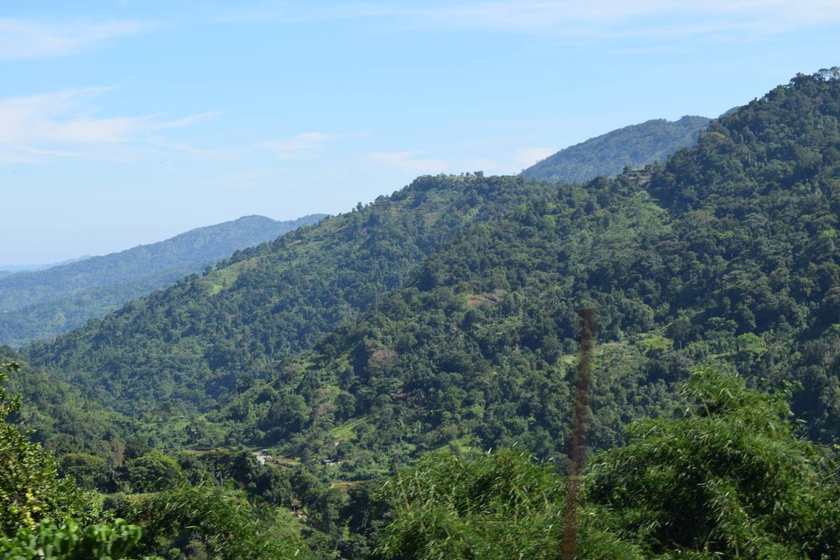 Nature still reigns
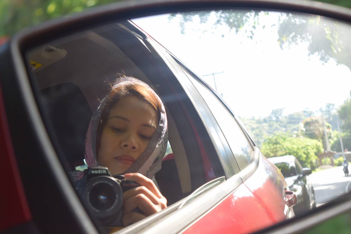 Photographer in action
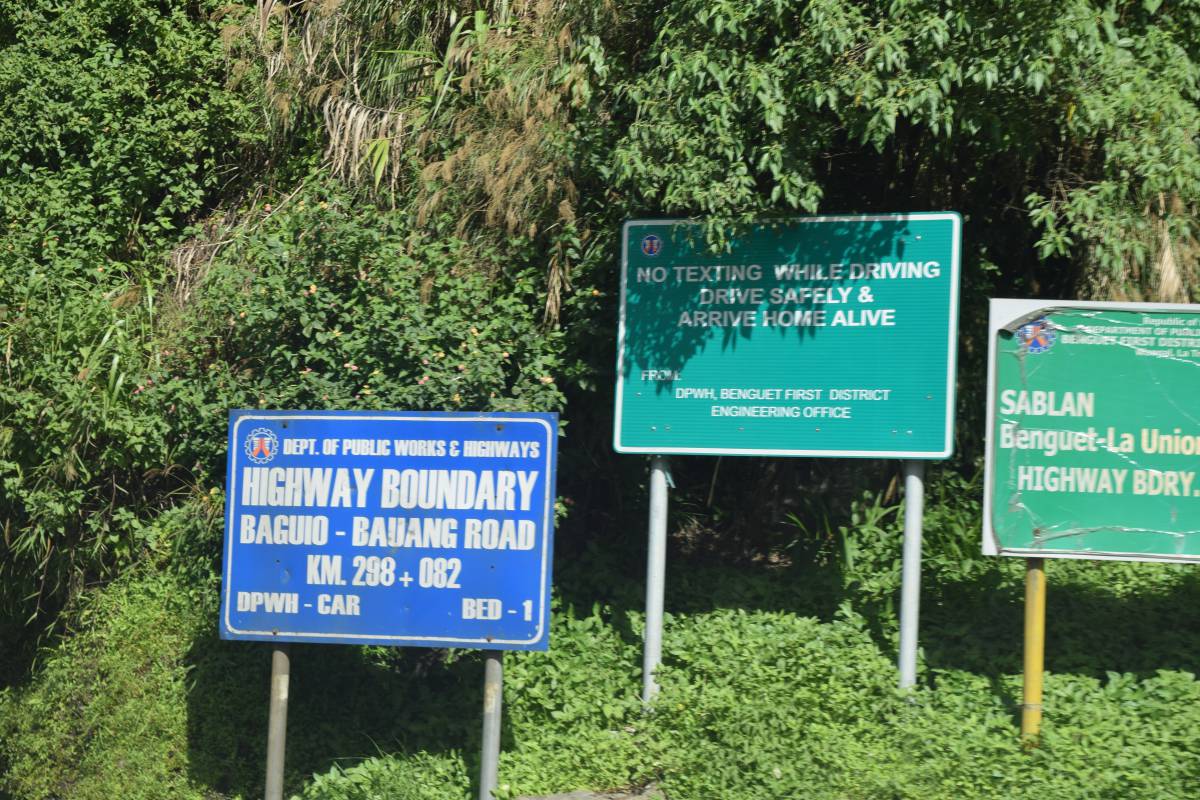 Some wise words
 Down the mountain at Bauang


Comments powered by CComment